This post may contain affiliate links which means I may receive a commission for purchases made through included links. I will only recommend companies and products that I personally trust and recommend.
With a landscape as diverse as California, there is so much to see and do. From beaches, mountains, deserts, and forests, you will never be bored traveling in the Golden State. California has nine national parks, the most in the country, and over 200 state parks. I believe one of the best ways to explore California is by road trip because you experience so much more of what makes the state a top destination for travelers. From the iconic coastlines to the majestic mountains, and through the vibrant cities, these are 25 California road trip ideas for your next west coast vacation.
1. Pacific Coast Highway Coastal Road Trip
Start point: San Francisco
End point: Dana Point
Distance: 456 miles
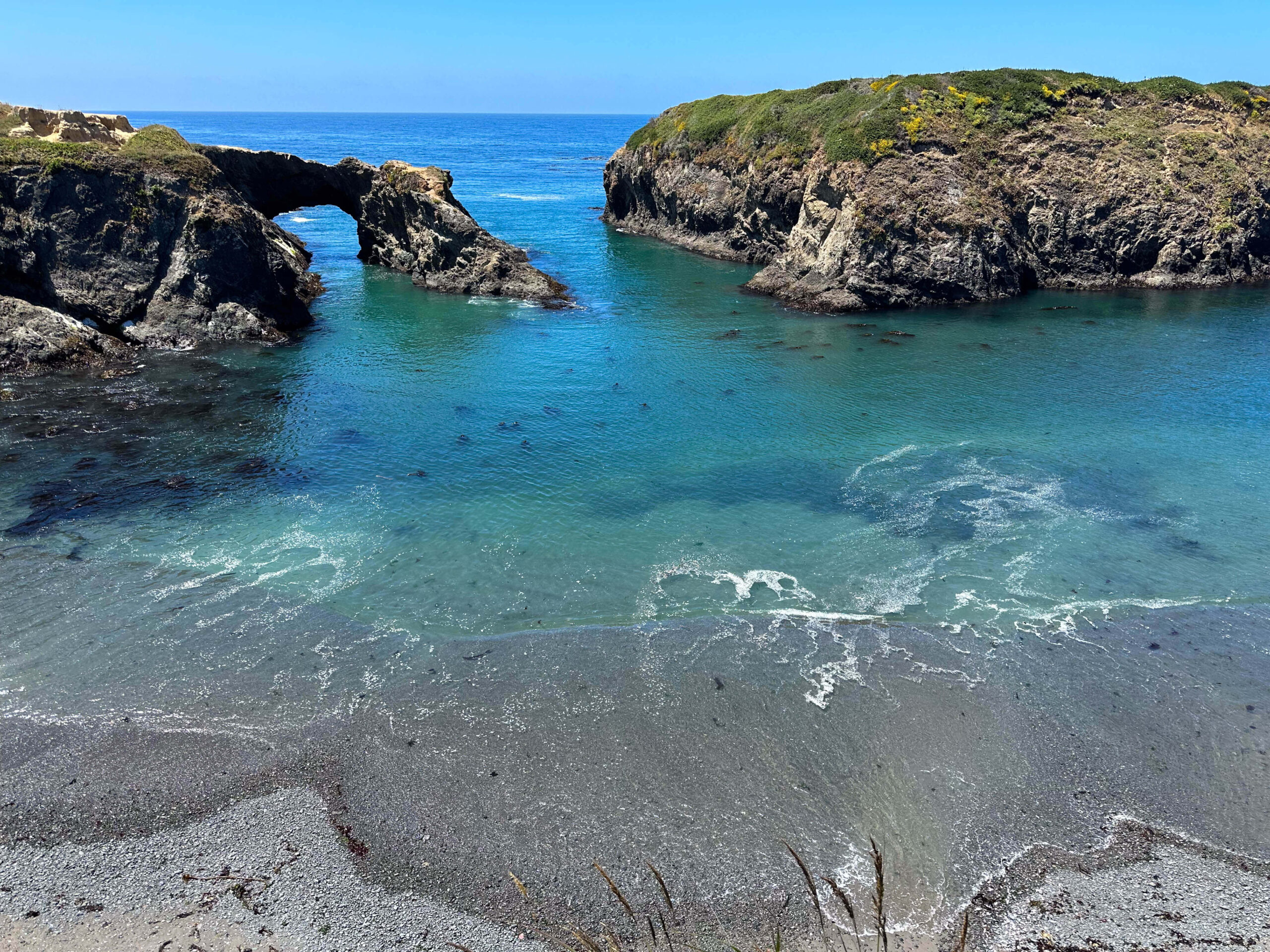
Highway 1, also known as Pacific Coast Highway, can take you just about anywhere along the coast of California. I recommend starting from the very beginning at Mendocino County in the town of Leggett. By the time you make it to Dana Point, which is just south of Los Angeles, you will have seen some of the best sights in the state.
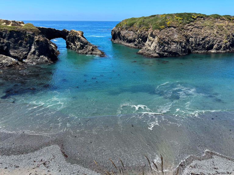
Starting the route are can’t-miss stops like Half Moon Bay, and Santa Cruz, stopping for amazing hiking in Pacific Grove, and exploring the scenic 17-mile Drive in Monterey. The stretch of road from Carmel-by-the-Sea to Big Sur has some of the most stunning views so be sure to allow yourself plenty of time. While in Big Sur, be sure to check out Bixby Creek, McWay Falls, Point Lobos State Reserve, Pfeiffer Beach, and the Keyhole Arch. In San Simeon, on the south end of Big Sur, don’t forget to check out Heart Castle and stop to view the elephant seals at the Piedras Blancas Rookery.
Continuing the route stops in Morro Bay, home of the iconic Morro Rock, Pismo Beach, Santa Ynez, Santa Barbara, and Santa Monica will bring you to some of the best cliffside views synonymous with California. Once you’ve had the Los Angeles experience, continue down for about 70 more miles to complete your route in Dana Point, which is in Orange County. The community is known for its surfing, whale watching, and sailing. If you have to pick just one California road trip to do, this road trip will give you a taste of the true California coastal lifestyle.
2. Highway 395 Road Trip
Start point: Lone Pine
End Point: South Lake Tahoe in Emerald Bay State Park
Distance: 240 miles
Set off on a spectacular road trip along Highway 395 weaving through the Eastern Sierra’s diverse landscapes. Begin your adventure amidst the stunning rock formations of the Alabama Hills in Lone Pine where you will have the Sierra Nevada as your backdrop. Follow the Whitney Portal Road towards the upper reaches of Mt Whitney, the highest peak in the contiguous United States. Explore Onion Valley’s scenic beauty before taking a detour to the Ancient Bristlecone Pine Forest, home to some of the world’s oldest trees.
Continue north to Bishop, a charming town nestled against the Sierra. Discover the natural wonders of Mammoth Lakes, including the unique geological formations of Devils Postpile National Monument. Hike to the enchanting Rainbow Falls and marvel at the geothermal wonders of Hot Creek Geologic Site. Continue your journey with scenic stops at Convict Lake, June Lake Loop, and the captivating tufas of Mono Lake. Take a detour to the well-preserved ghost town of Bodie State Historical Park before concluding your road trip in South Lake Tahoe at the majestic Emerald Bay State Park, where the shimmering waters of Lake Tahoe meet towering alpine landscapes, offering a perfect finish to your unforgettable Highway 395 adventure.
3. National Park Trinity Road Trip
Start point: Yosemite
End Point: Kings Canyon
Distance: 425 miles
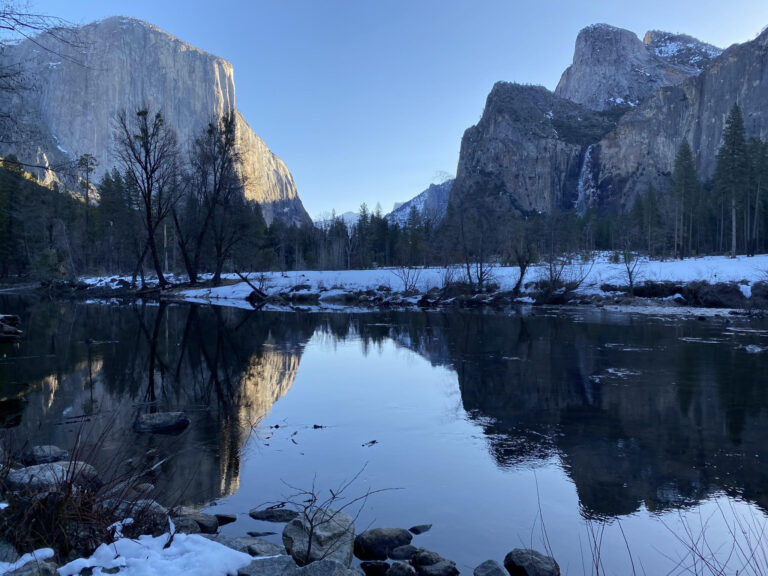
This road trip gives you a taste of three of California’s best national parks. This route will lead you from the Yosemite National Park to Sequoia National Park and end in Kings Canyon National Park. This route is best traveled in this order because while Yosemite and Sequoia are both drive-through parks, Kings Canyon National Park is not, which makes it a good final destination point. Witness the grandeur of El Capitan, Bridalveil Fall, and Half Dome, and explore the charming Yosemite Valley at Yosemite National Park. Continue south to Sequoia National Park, home to the world’s largest trees. Stand beneath the colossal trunks in the Mariposa Grove and the impressive General Sherman Tree. Finally, explore Kings Canyon National Park, the home of spectacular canyons, rivers, and rugged peaks. Explore the depths of Kings Canyon itself, hike along the scenic Rae Lakes Loop, and savor the breathtaking vistas from Panoramic Point.
4. California North Coast Road Trip
Start point: San Francisco
Ends point: Crescent City
Distance: 355 miles
After exploring the Golden Gate City of San Francisco, make your way to Point Reyes National Seashore. You will want to explore the scenic trail leading to Tomales Point, capture the beauty of the Cypress Tunnel, marvel at the picturesque Point Reyes Lighthouse, and encounter elk and other wildlife at the Tule Elk Preserve. Next, venture into Sonoma County, visiting Bodega Bay, Jenner, Sea Ranch, and Gualala for the small-town coastal charm. Continue your journey to Mendocino, where you can explore the botanical gardens, Mendocino Headlands State Park, and Mendocino Village. Finally, immerse yourself in the awe-inspiring beauty of the redwoods by visiting Redwood National and State Parks, which include Del Norte Coast State Park, Jedediah Smith State Park, and Prairie Creek Redwoods State Park.
5. Napa Valley’s Silverado Trail
Start: Napa
End: Calistoga
Distance: 30 miles
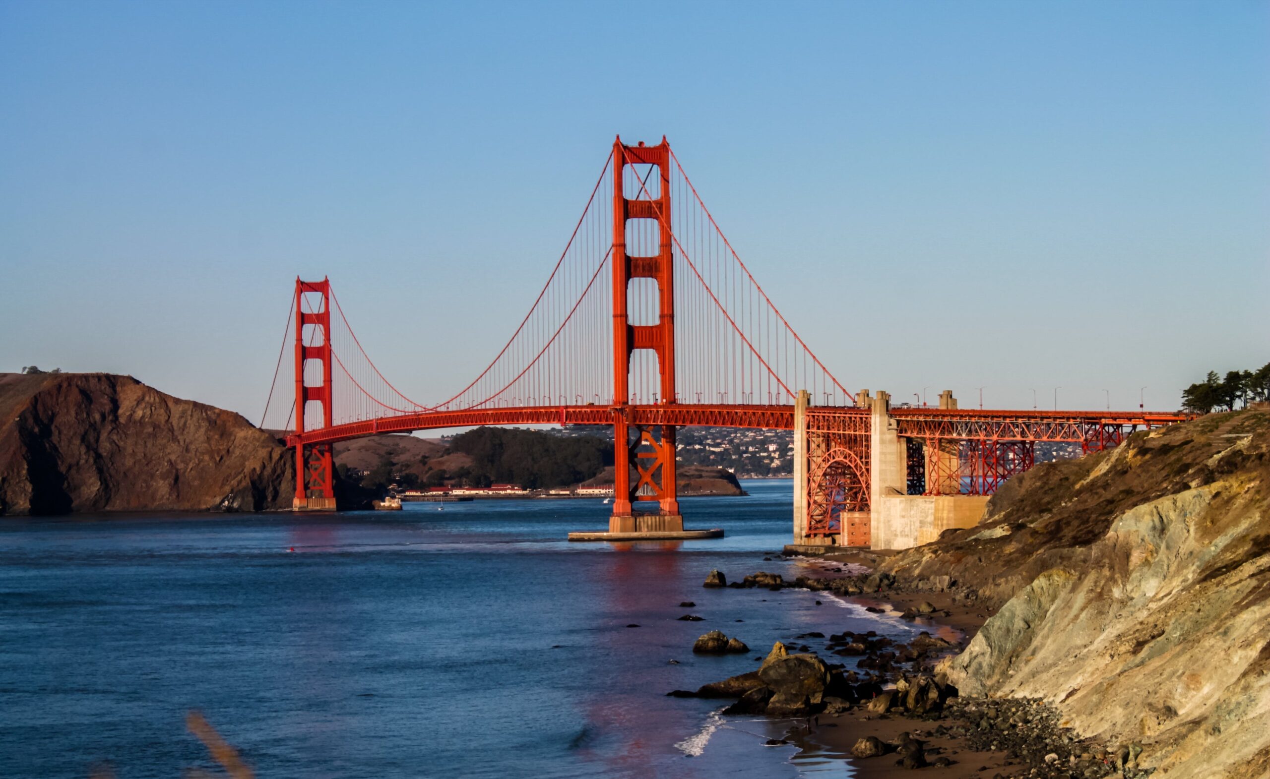
The Silverado Trail is your next adventure if you are ready to explore Northern California wine country. Constructed in 1852 to connect the towns of Napa and Calistoga, the Silverado Trail now provides convenient access to some of the finest wineries in California. Start on your journey in the town of Napa, heading north to explore distinguished wineries such as Duckhorn, Quintessa, Silverado Vineyards, Reynolds Family Winery, Clos du Val, and Mumm Napa. I recommend extending the experience and indulging in a night or two at one of the beautiful local hotels, such as Hotel Yountville, Hotel Indigo Napa Valley, or the Archer Hotel.
6. Sierra Vista Scenic Byway
Start: North Fork
End: Bass Lake
Distance: 83 miles
The Sierra Vista Scenic Byway is about 80 miles through the Sierra National Forest. You will see meadows, valleys, and granite domes. I recommend starting in North Fork which is the exact center of California. You will travel North for the scenic byway and continue back down to complete the loop or stop off at Bass Lake, which is a good spot to branch off toward Yosemite National Park. Prepare for a few dirt roads and evergreen forests. Don’t miss the Bull Buck Tree which is one of the world’s oldest sequoia trees.
7. Fresno County Blossom Trail
Start: Fresno
End: Sanger
Distance: 62 miles
Acres and acres of orchards make up the Fresno County Blossom Trail. While the orchards are privately owned, driving the route will allow you to see dozens of fruit trees in bloom like peaches, plums, apricots, nectarines, and cherries. Fresno County is known for producing more food than anywhere else in the country. The best time to see this route in bloom is from mid-February to mid-March. If you’d like to come when the harvest is available for sale, travel this route around June in early summer. There are wineries, breweries, and plenty of fruit markets to experience along the way. Be sure to stop at Simonian Farms for a step into the Old Town atmosphere and old-fashioned treats. You can also check out the old trains and fruit orchards at Hillcrest Farm in Reedley.
8. Highway 101 Coastal Charm
Start: Malibu
End: Lompoc
Distance: 130 miles
If you are a beach and wine lover, this route is made for you! Starting in Malibu, you’ll find yourself along the base of the Santa Monica Mountains before you continue North passing through Oxnard, Ventura, and Santa Barbara. I suggest making a stop in Santa Barbara as the town is known for its soft sandy beaches. If you look out over the water in Santa Barbara, you can see Channel Islands National Park. Continuing up to Lompoc, which is most famous for its summer flower fields and world-class Pinot Noir and Chardonnay. If you stop in at the Lompoc Wine Ghetto you can taste wines from a variety of local vineyards.
9. Rim of the World Scenic Byway
Start: San Bernardino
End: Big Bear
Distance: 100 miles
If you tire of the palm trees, this route gives you a different kind of view. Spanning over 100 miles, State Highway 18 meanders the San Bernardino Mountains and through quaint towns on the way to Big Bear Lake. Renowned for its breathtaking vistas, this scenic route has earned the name “The Rim of the World.” Along this route, you will want to visit Lake Arrowhead, only a slight detour onto State Route 173 is needed. Here you can hike a part of the Pacific Crest Trail, kayak, and take a ride on a steamboat. and the serene Sequoia Trail at Heaps Peak Arboretum. For panoramic views, continue to the town of Running Springs and take the winding drive to Keller Peak Fire Lookout where you will see mountains and lakes. Finish your trip in Big Bear with activities like boating, waterskiing, cycling, and hiking, Castle Rock Trail will give you the best views of the lake. If visiting in the winter, there are plenty of winter activities to enjoy in the snow. Year-round, you can enjoy the decadent homemade fudge at the North Pole Fudge and Ice Cream Co.
10. Carlsbad to The Lost Sierra
Start: Carlsbad
End: Clio
Distance: 800 miles
Discover some of the state’s best views and hidden gems on this route. You will start your journey on the sandy beaches of Carlsbad, then travel north along the coast to Malibu. When you make your way to Solvang, a charming Danish village, be sure to stop for a visit to its renowned wineries and exceptional farm-to-table restaurants like Sear, First and Oak, or Mad & Vin. From Solvang, continue north to the coastal town of Monterey, where you can stay and enjoy the rugged coastal views. From here you can visit destination towns like Big Sur or Pebble Beach. After Monterey, make your way through Napa Valley for a taste of wine country, or spend the day hiking in the valley’s Alston Park. To complete your route, you’ll go through Sacramento before arriving at the Lost Sierra. The Lost Sierra is a hidden gem forest with dramatic tree-lined peaks, waterfalls, and crystal-clear lakes. Here, you can camp and explore the Lakes Basin Recreation Area of Plumas National Forest.
11. The Lost Coast Route
Start: Mattole Beach
End: Shelter Cove
Distance: 50 Miles
Enjoy the part of California’s coast where no development or major roads come near the ocean. The Lost Coast is an 80-mile stretch of the California coast where the builders of Highway 1 decided to go around because it was too rugged to develop. Prepare to see ocean views, small rural towns, and forest trees that have been growing for many many years undisturbed. This route takes users down the Lost Coast starting at Mattole and ending at Shelter Cove Beach. This scenic drive is the closest you can come to the Lost Coast without a backpack. I recommend adding a visit to Humboldt State Park from Shelter Cove as it is only an hour inland and continues your wilderness adventure.
12. Northern California Wine Country
Start: San Francisco
End: Ukiah
Distance: 180 miles
For an immersive experience in Northern California’s wine country, try this route for a weekend wine-filled getaway. Embarking from San Francisco, your journey north to Napa should include a stop for a glass of sparkling wine and a tour of one of the local vineyards. I recommend the William Hill Estate Winery because the grounds are beautiful. Continue your journey to Castello di Amorosa in Calistoga, an impressive 14th-century-style castle constructed using medieval techniques. Make reservations to sample wines and explore the castle grounds. Don’t miss out on an outstanding meal and wine tasting at Sequoia Grove, which is a family-owned winery located in a grove of Sequoia trees. Finally, unwind from your trip in Ukiah with the naturally carbonated hot waters of Vichy Springs Resort and Day Spa.
13. Southern California Coastal Beaches
Start: San Diego
End: Malibu
Distance: 160 miles
If a beach vacation road trip is what you’re after, try this Southern California route. Southern California is known for some of the country’s best beaches and weather. Starting in sunny San Diego, spend the morning exploring La Jolla Cove before making your way to the nearby Torrey Pines State Natural Reserve. From there, continue north to enjoy the idyllic Orange County beach towns like Huntington Beach, Newport Beach, and Laguna Beach. If you are feeling adventurous, this is a great place to grab a surfboard and ride the waves, or if you prefer land adventures, walk the pier and watch for sea life. There is no beach town more iconic than Malibu. Here you will want to explore Zuma Beach, Leo Carrillo State Park, and the cliffs of Point Dume. When you need a break from beaches, you can venture out on a hike in Corral Canyon.
14. Gold Rush Trail
Start: Oakhurst
End: Vinton
Distance: 300 miles
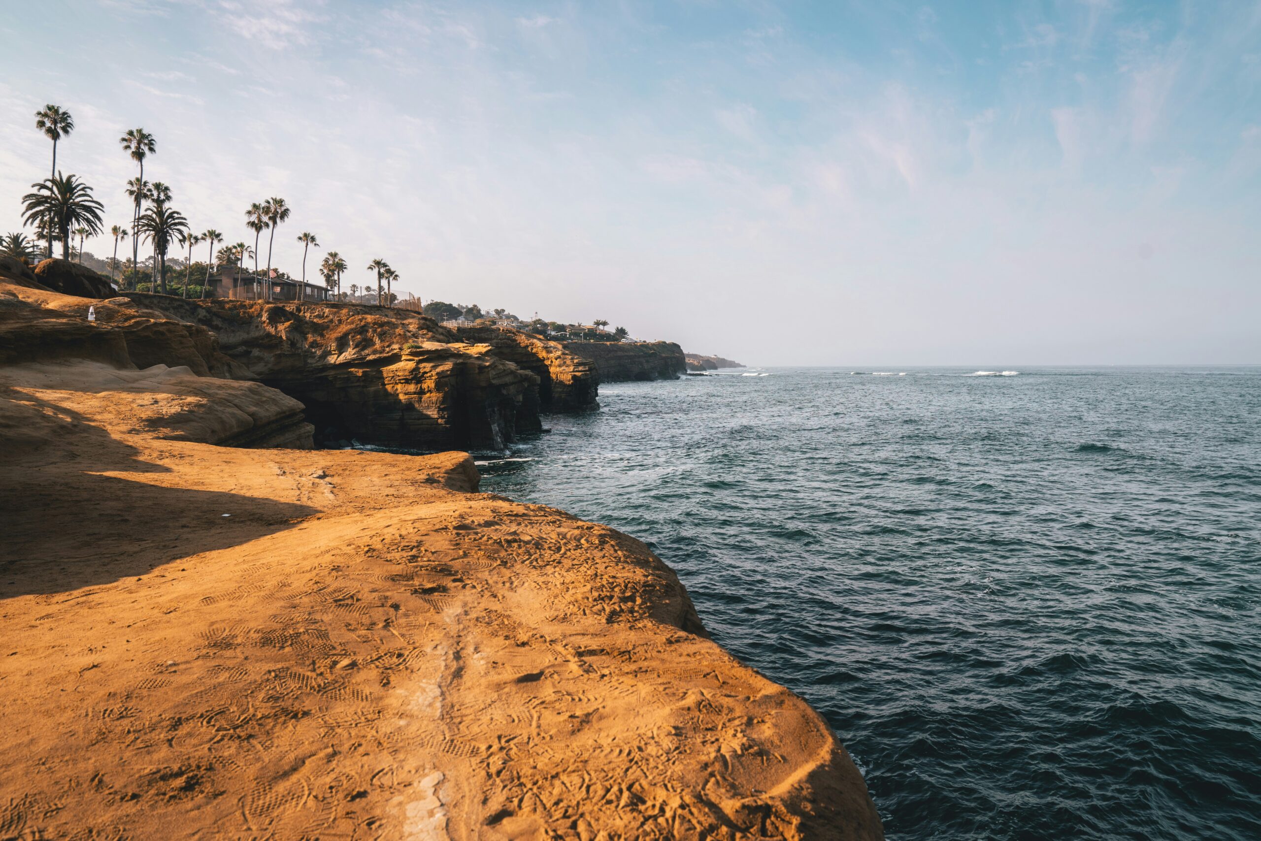
Discover the history of California’s Gold Rush towns as you make your way down Highway 49. Stop in towns like Coulterville, Sonora, Angels Camp, Jackson, Nevada City, and Downieville, which all maintain the flair of the Gold Rush era. You’ll experience antique stores in vintage restored buildings. You can stop in Columbia for gold panning and take a ride in a stagecoach wagon, it is well maintained and one of the more mainstream cities along the way that are suitable for overnight lodging. Don’t miss the Marshall Gold Discovery State Historic Park at Sutter’s Mill, which you will find near the town of Coloma.
15. California’s Route 66 Road Trip
Start: Santa Monica
End: Kelso
Distance: 270 miles
For the classic all-American road trip, you can’t leave out Route 66. You can take Route 66 from its official route end point in Santa Monica all the way to Chicago but for this California road trip route I recommend taking it to the Mojave Desert. Along the way, you can make stops in Pasadena, San Bernardino, and Oro Grande which is home to Elmer’s Bottle Tree Ranch. Ending in Mojave National Preserve means visiting one of the driest places on Earth but it is also one of the most unique desert landscapes.

16. Desert Road Trip to Palm Springs
Start: Death Valley
End: Palm Springs
Distance: 300 miles
Take a desert road trip to Palm Springs, stopping at the iconic Joshua Tree. There is nothing like relaxing in a hot spring and taking in the night sky from the middle of the desert. Start in Death Valley National Park, which contains both the lowest and hottest places in North America. Craters, sand dunes, and salt flats, there is so much unique landscape to explore. You can read my full weekend guide to Death Valley for more ideas. Then continue to Joshua Tree National Park, which contains some of the best star gazing conditions and the namesake, Joshua Trees. Finally conclude your journey in vibrant Palm Springs where you can explore galleries, ride in a hot air balloon, or visit the Living Desert Zoo and Gardens.
17. Trinity Scenic Byway
Start: Redding
End: Weaverville
Distance: 50 miles
Highway 299 is known as Trinity Scenic Byway and was given the motto “From the valley oaks to the redwood coast” because of how diverse the landscape is along the route. Prepare to see the Trinity Alps, a subrange of the rugged Klamath Mountains, Trinity Lake, and the historic Gold Rush town of Weaverville. There is plenty of hiking, wildlife, and scenic overlooks to enjoy along the way.
18. State Park Scenic Route
Start: Sacramento
End: Ahjumawi Lava Springs State Park
Distance: 800 miles
Discover the overlooked beauty of Northern California’s state parks on this road trip and embrace the charm of these less popular natural gems. departing from Sacramento and heading east to Emerald Bay State Park for Lake Tahoe views and a visit to Vikingsholm. Travel north to Plumas-Eureka State Park for insights into the California Gold Rush. Continue west to the coast, passing Grizzly Creek Redwoods State Park, Humboldt Lagoons State Park, and Ahjumawi Lava Springs State Park. The final destination is Castle Crags State Park to complete the full northern state park tour.
19. San Diego to Joshua Tree
Start: San Diego
End: Joshua Tree National Park
Distance: 220 miles
Starting your adventure in sunny San Diego, you can immerse yourself in the sweeping arid beauty of Anza-Borrego Desert State Park, known for superbloom and slot canyons then continue to Salton Sea for views of Salvation Mountain before heading to Palm Springs. Once you’ve experienced the colorful community of Palm Springs, venture into the legendary Joshua Tree National Park for a complete desert experience. For more Joshua Tree National Park information read my full Joshua Tree Weekend Itinerary post.
20. Central California’s Best
Start: Carmel-by-the-Sea
End: Paso Robles
Distance: 200 miles
Have a taste of the Central Coast with this road trip route. You will enjoy food, wine, and views of Central California’s best on this trip. Start in Carmel-by-the-Sea with a visit to 17-Mile Drive, then follow Highway 1 south to Big Sur. You can also check out my post 48 Hours in Carmel-by-the-Sea for more ideas of things to do. After admiring Big Sur’s natural attractions, drive south to San Simeon stopping at the Piedras Blancas Elephant Seal Rookery for some seal spotting along the way. This is where you’ll find Hearst Castle and the Hearst Ranch Winery.
Stop in Morro Bay for views of the sand dunes and make a side trip to San Luis Obispo for a farm-to-table meal influenced by the central coast wine region. In Paso Robles, wineries are plentiful like TOPwinery, Le Cuvier, Tablas Creek, and Hawk’s Hills. You don’t want to miss out on a stop in Tin City, a market hub for local winemakers, brewers, and distilleries.

21. Lake Tahoe Loop
Start: Emerald Bay
End: South Lake Tahoe
Distance: 70 miles
Embarking on the Lake Tahoe Loop in California promises some of the most stunning alpine landscapes in the country. Starting in Emerald Bay, don’t miss the iconic panoramic views and historic Vikingsholm castle. Continue north along Highway 89 and take time to stop and enjoy the water. Halfway you will find yourself at King’s Beach before you pass through into Nevada. Heading south down Highway 28 you will make your journey to South Lake Tahoe. Whether along the eastern or western shores, the route treats travelers to picturesque vistas, secluded beaches, and lush forests.
22. Avenue of the Giants
Start: Phillipsville
End: Pepperwood
Distance: 32 miles
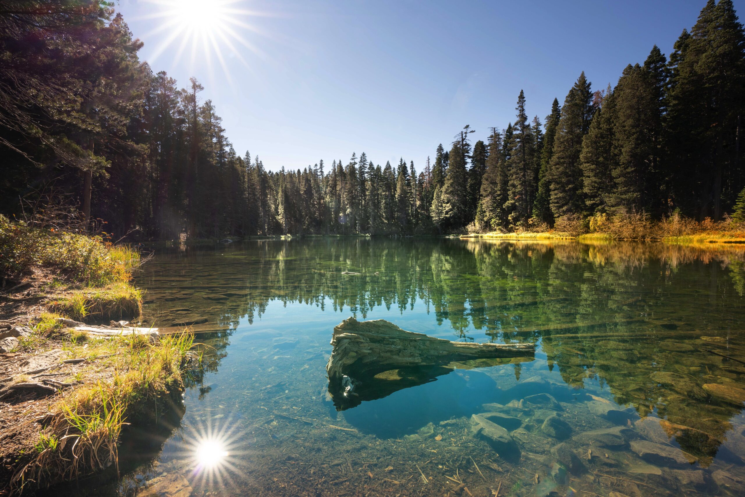
This scenic highway offers an awe-inspiring drive through the heart of the Humboldt Redwoods State Park. The majestic redwood trees, some reaching heights of over 300 feet with their giant trunks and dense canopies above. Driving beneath the towering trees, you’re surrounded by a sense of peace and respect for nature’s grandeur. There will be numerous pullouts and trails along the avenue so you can hike, walk, and explore up close.
23. California Delta Loop
Start: Sacramento
End: Rio Vista
Distance: 50 miles
The scenic and well-loved California Delta Loop offers travelers a chance to see the beauty of the Sacramento-San Joaquin River Delta region. This road trip route guides you through small towns, rural landscapes, and the network of waterways that define the delta. While the Delta Loop itself is only 10 miles, this route takes you from Sacramento to Rio Vista, which will give you a better look and more to do along the way.
24. Volcanic Legacy Scenic Byway
Start: Mount Lassen
End: Tulelake
Distance: 245 miles
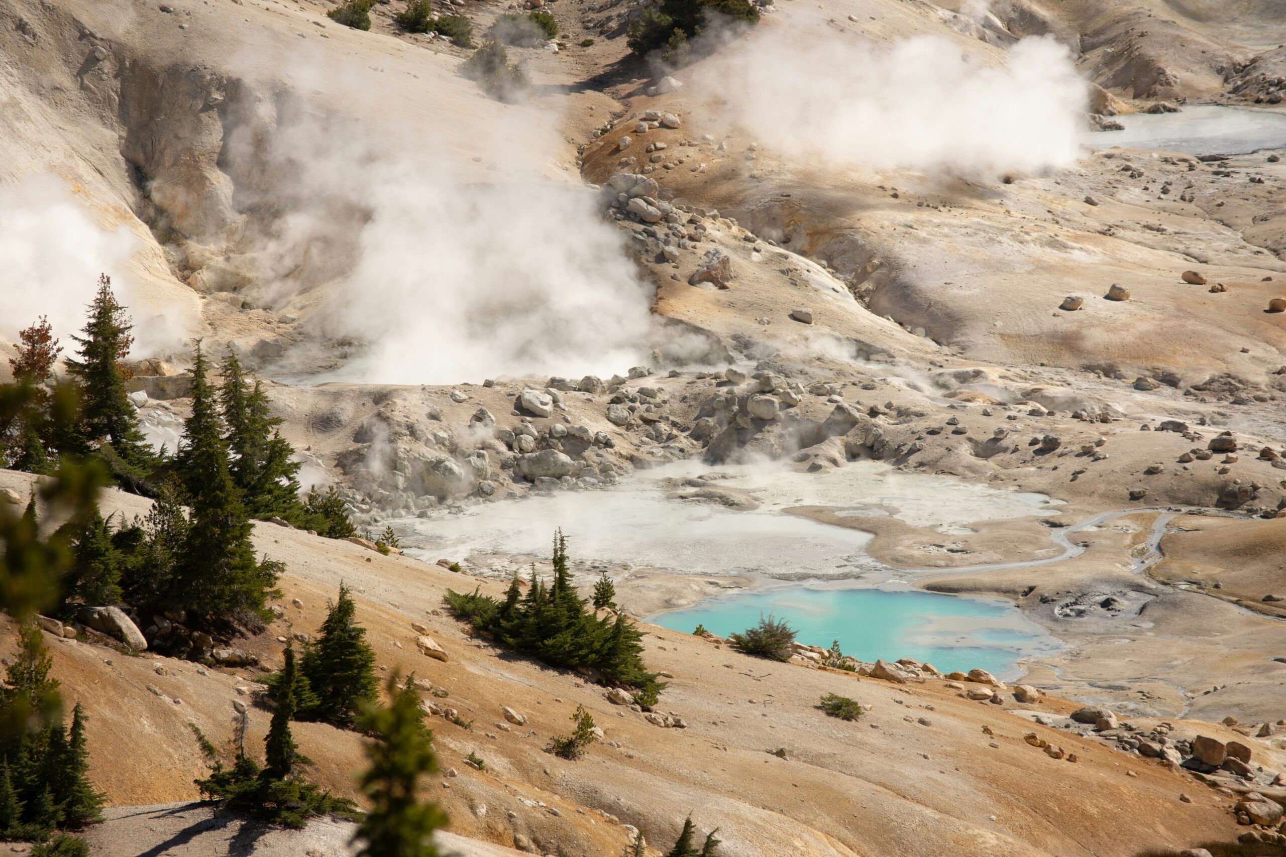
For a unique geological road trip, explore the Volcanic Legacy Scenic Byway in Northern California. This route takes you through a region that showcases the impact of volcanic activity on the landscape. Start at Mount Lassen and follow the byway through Lassen Volcanic National Park, continuing towards the town of Burney. Along the way, you’ll get a chance to see geothermal features, lava fields, and stunning mountain vistas. This route also passes by the iconic Shasta Lake and offers opportunities for outdoor activities, including hiking, bird watching, and exploring caves. Continue to Lava Beds National Monument, which is known for its intricate lava tube cave systems and Native American rock art historical sites.
25. Tioga Road Scenic Drive
Start: Tuolumne Meadows
End: Lee Vining
Distance: 70 miles
Located in Yosemite National Park, Tioga Pass is the highest highway pass in California, offering breathtaking views of the surrounding mountains. It’s usually open only during the summer and early fall due to snow closures. While Yosemite Valley attracts numerous visitors each year, not many take the opportunity to enjoy this scenic drive, which ranks among California’s best. You’ll pass iconic landmarks such as Tuolumne Meadows, Tenaya Lake, and Olmsted Point.
As you are planning your road trip, check out my full weekend getaway guides for many of the cities and regions highlighted in these California road trip ideas. Here are some of my favorites:
Plan a Weekend in Mendocino
48 Hours as Yosemite Firefall



+ There are no comments
Add yours